
The Fun Side of History

For those interested in diving deeper into the history and architecture of the area, please read the application presented to the Department of Interior to create a historic district.
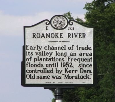
DRIVING TOUR OF HISTORIC ROADWAY MARKERS
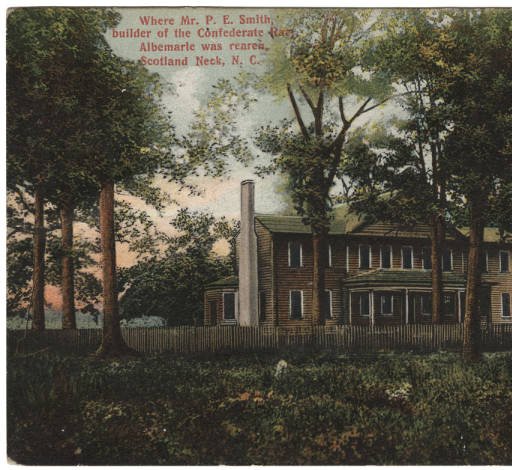
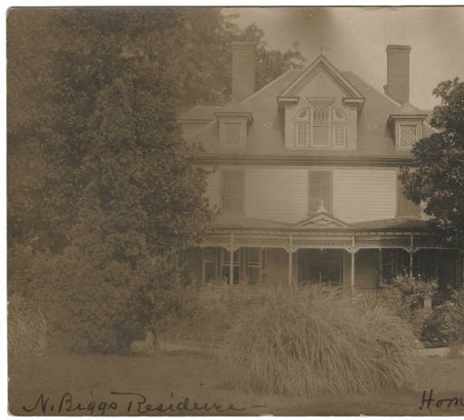
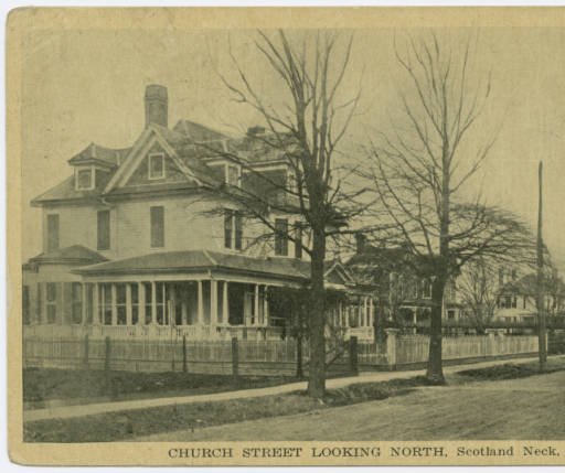
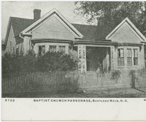
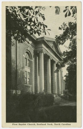
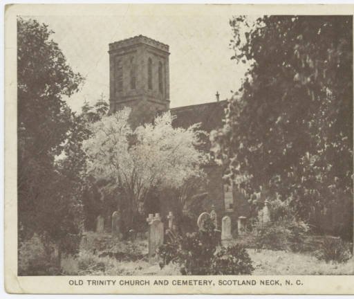
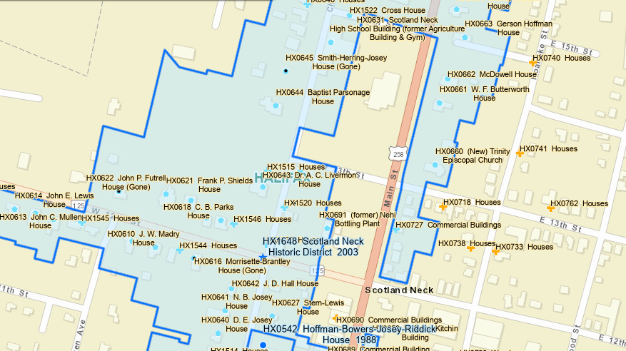
The walking tour takes you down Main and Church streets as well as a few side streets. Your walk will take you past homes in their original state, restored homes and some that are awaiting their opportunity-but still beautiful in their own right! Each stop in the guide will tell you a bit about the style and use over the years. The map above shows an overview of the house locations.
DEVELOPMENT OF THE TOWN
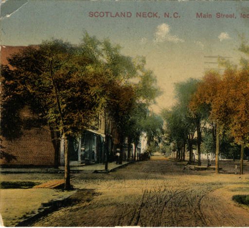
Located in the southeastern section of Halifax County, Scotland Neck developed during the second half of the nineteenth century from the earlier communities of Clarksville and Greenwood. Largely through the efforts of John Hyman, who before the Civil War purchased from Napoleon B. Josey Sr. the land that lay between the two towns, streets (including a 1-1/2-mile-long main street) were laid off. The legislature incorporated Scotland Neck on February 21, 1867, and appointed John Nichols, Eli C. Biggs, and Napoleon B. Josey Sr. as commissioners.
Like many towns and cities in North Carolina, Scotland Neck grew rapidly during the late nineteenth century as a center of commerce and manufacturing for the surrounding agricultural region. In 1880, the village of 482 residents supported some 16 merchants, 18 store clerks, 7 carpenters, 4 lawyers, 3 coach makers, 2 physicians, 2 grocers, a sawmill operator, and a variety of other professionals, merchants, and tradesmen. The Commonwealth, a newly founded local newspaper, stated early in 1883 " ... that our town is given up entirely to mercantile interest, and the surrounding country to agricultural pursuits." As in other parts of eastern North Carolina, "agricultural pursuits" represented homage to cotton's value as a cash crop.
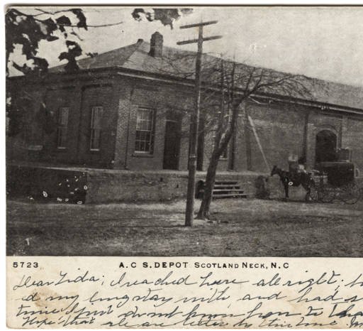
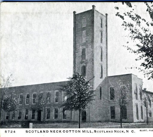
Completion during the period 1881-1883 of the Wilmington and Weldon Railroad's branch to Scotland Neck and its commodious brick warehouse there, fostered the town's economic development. Area farmers, as well as Scotland Neck's business community, benefitted from this new transportation outlet. Between November, 1882, and February 8, 1883, farmers shipped about 3,000 bales of cotton from Scotland Neck on the new railroad. When prominent local investors incorporated the Scotland Neck Cotton Mills in 1889, they wisely chose a building site adjacent to the railroad. This company, in turn, stimulated economic development and population growth. By 1900 the population had soared to 1,348. Although Scotland Neck continued to thrive during the early twentieth century as a commercial center, lack of significant improvements in transportation facilities eventually retarded its growth. A variety of new commercial ventures, including banks, insurance companies, peanut markets, a brick mill, hardware stores, oil companies, and motor car dealerships, served the public. The population of Scotland Neck surpassed 2,000 during the 1920s, but the Great Depression of the 1930s curtailed the town's growth. Scotland Neck's population did not approach 3,000 until 1960. Current 2023 population is just over 1,600.
Citation: https://www.livingplaces.com/NC/Halifax_County/Scotland_Neck_Town.html
The Scotland Neck Historic District was listed on the National Register of Historic Places in 2003. Portions of the content on this web page were adapted from a copy of the original nomination document. [‡]
The Scotland Neck Historic District is locally significant for listing in the National Register of Historic Places in the area of commerce and architecture. Scotland Neck's intact late-nineteenth and early-twentieth century brick commercial buildings reflect the town's economic growth during this time period. The needs of an increasing population were met with a mix of businesses, shops, industry, and banking institutions. Growth in the town was spurred by the formation of a number of textile mills in the early decades of the twentieth century. Several major businesses were also established to process the agricultural harvest of neighboring farms. The industrial expansion in Scotland Neck encouraged development of the town's business district along Main Street. Many wood buildings were replaced with more durable two-story brick structures embellished with raised parapets, metal cornices, brick pilasters and detailing. In addition to the business district, the town retains a diverse mix of modest and sophisticated domestic architecture from the early- to mid-nineteenth century up to the mid-twentieth century. The town's prosperity is reflected in many handsome Federal, Greek Revival, Queen Anne, Italianate, and Neoclassical Revival style houses from the nineteenth and early twentieth centuries scattered throughout the district. The Scotland Neck Historic District also embraces…more
From 1867 to 1977, the Sanborn® Map Company of Pelham, New York, produced large-scale (usually 50 feet to the inch) color maps of commercial and industrial districts of some 12,000 towns and cities in North America to assist fire insurance companies in setting rates and terms. Each set of maps represented each built structure in those districts, its use, dimensions, height, building material, and other relevant features (fire alarms, water mains and hydrants, for example).
There are five maps for Scotland Neck ranging from 1896 to 1913.